- No time constraints, take as long as you like to complete the tour
- Only 1 tour booking needed per vehicle
- Flexible dates - tour is yours to keep and enjoy anytime on Tripvia Tours.
- No signal required or data used during tour
- Good mobile or WiFi connection needed for the initial download
- Email confirmation with getting started instructions
- Smartphone or tablet
- Transportation (use your own vehicle)
- **Recommended attractions may be closed/inaccessible due to season or reasons beyond our control.
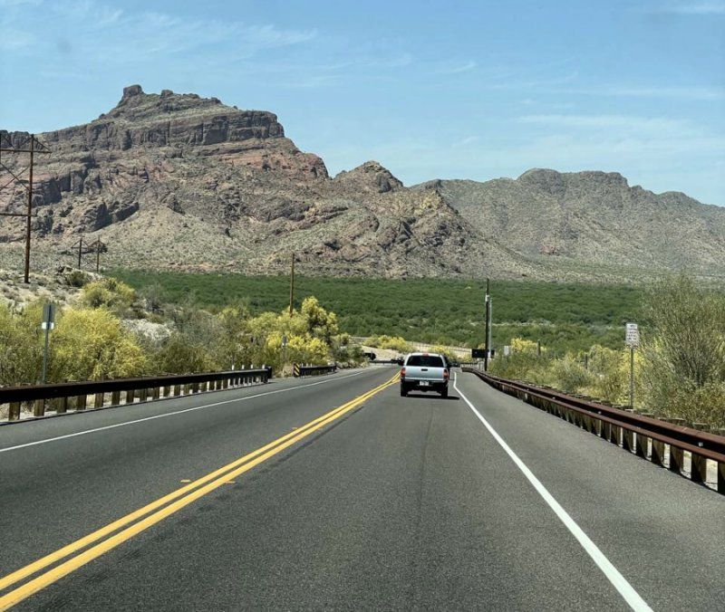
Hook your smartphone up to your vehicle’s stereo and listen to a tour guide while you drive!
Follow the famous Cabot Trail, one of the most scenic roadways in the world! It’s actually a big loop. We’ll be traveling counter-clockwise around it in order to get the best views.
The Cabot Trail runs 298 kms, or 185 miles, long but there are plenty of stops along the way. You can take in the view, shop for one-of-a-kind crafts, hike, golf on some of Canada’s best courses, go on a whale watching adventure or simply indulge your taste for freshly caught lobster.
With no time constraints, enjoy the freedom to stop anywhere and explore. Tour guide commentary plays automatically as you drive, using an easy to navigate live GPS map. No data is used during the tour.
This audio guide will keep your group entertained & engaged along the way. Each point of interest also has a fun multiple-choice trivia question about the sights.
Trust the platform with over 75 tours & 17,000+ happy customers.
Meeting point
Buckwheat Corner, Buckwheat Corner, NS B0E 3N0, Canada
The tour starts and ends at Buckwheat Corner at the intersection of Cabot Trail Road and the Trans Canada Highway.
End point
This activity ends back at the meeting point.
Bras d'Or Lake
You’ll catch glimpses of Bras d’Or Lake, a 90 km long body of water composed of three long fingers that stretch into northern Cape Breton.
Baddeck
Hear Alexander Graham Bell tell you why he has a museum dedicated to him! You can even visit the National Historic Site and Museum which is close by.
Plaister Mines
We'll tell you the history of the Plaister Mines and what they were mining.
Saint Anns
We'll tell you how the Scots made a major impact in Cape Breton and how they came about being here.
Goose Cove
One of the prettiest spots along this section of the trail where several brooks join to flow into the cove. If waterfalls are your thing, there are several beautiful ones along Goose Cove Brook that are easily accessible.
North River Wilderness Area
The North River Wilderness Area protects more than 5,000 hectares or 12000 acres of highland plateau and rugged river valley and offers a number of trails for all levels.
Saint Anns Bay
If you are looking to stretch your legs there are several easy trails or if you just want to browse some shops this is a great spot.
CG7G+WW North Shore
PLASTER PROVINCIAL PARK: As we drive along the edge of the park we’re going to tell you some interesting facts about the park itself and the area you will see around you.
French River Wilderness Area
You'll hear about one of the largest and the most rugged of all the protected areas in Nova Scotia.
Wreck Cove General Store
A famous stop along the Trail. In business since 1976 they offer everything you need for a road trip including their legendary lobster sandwiches!
Cape Smokey
There is a pull off on your ascent to Cape Smokey where you can pause for a panoramic ocean view before you head up to the top.
Cape Smokey Provincial Park
On top of Smokey Mountain you’ll find the entrance to the Cape Smokey Picnic Park where you’ll find picnic tables, flush toilets and scenic lookouts.
Ingonish
The Ingonish community actually consists of five villages and stands at the gates to the Cape Breton Highlands National Park, a famous tourist stop with beautiful fresh and salt water beaches.
Ingonish Harbour
Hear how the two harbours of Ingonish benefited the Mi'kmaq over 9000 years ago and continues to benefit residents and tourists today.
Keltic Lodge
TRAILS, WHALES, GOLF & GOATS. There’s so much to see and do along this stretch of the Cabot trail...we'll give you a rundown!
Ingonish Centre
If you like camping, hiking, beaches or waterfalls, you are spoiled for choice here. We'll give you some of the details!
Cape Breton Highlands National Park
It’s been said the park is where the mountains meet the sea. Glaciers and rivers carved the landscape, creating a unique ecosystem that includes animals found nowhere else in Nova Scotia.
Neil's Harbor
There are many interesting communities above the park that are also worth a visit if you have the time. One of these is the tiny fishing village of Neils Harbour. With only 300 people in residence, it’s a popular summer tourist spot.
Bras D'or
A TALE OF THREE CONTINENTS: The land around us is called the Bras d’Or terrane. We'll tell you a bit about the surrounding geology and its history.
Aspy Bay
If you like beaches you’ll like Aspy Bay. A beautiful red sand bar protects the large South and North Aspy Bays.
Pollett's Cove
You'll hear about the vast and rugged wilderness called the Polletts Cove – Aspy Fault Wilderness area that marks the collision of the three continental plates.
Beulach Ban Waterfall
If you’d like to visit the most accessible waterfalls in the park, it's just a couple of kilometers and a short walk leading to a truly pretty waterfall. Don't worry, we give you easy directions.
Cape Breton Highlands
The plateaus are the northern tip of the Appalachian Mountains of eastern North America. You’ll notice look offs on the side of road, one which gives the best views of the giant fault line cutting through the highland plateaus.
Lone Shieling
The Lone Shieling is a replica of an old Scottish crofter’s hut that is just a magical 15 minute walk through old sugar maples. Once there interpretive panels tell its story.
MacIntosh Brook Trail
The MacIntosh Brook trail is a delightful thirty minute walk suitable for the whole family including the dog! The path follows a babbling brook to a lovely woodland waterfall at the end.
Pleasant Bay
Pleasant Bay is the whale watching capital of Cape Breton!!
Mackenzie Mountain Lookout
This look off provides an amazing view of the Gulf of St Lawrence. It’s a good place to stop and catch your breath.
Fishing Cove
The lookoff at the entrance to Fishing Cove Trail will give you a beautiful view of mountain headlands swooping down to the ocean.
Benjies Lake
Moose in Cape Breton have an interesting history. This is a popular spot for these giant beasties who like to munch on forest herbs and aquatic plants in the lake.
French Lake
There’s a pull off at French Lake that gives you a lovely view of a highland lake surrounded by Boreal forest.
Skyline Trail
If you’ve seen postcards of the Cabot Trail it’s likely the photos were taken from the end of the Skyline trail. The headland cliff is famous for its dramatic views of the Cabot Trail as it winds along French Mountain. It’s a well-groomed path that’s rated an easy walk.
Le Vieux Chemin du Cap-Rouge Trail
This trail is unique in that it’s a walk through history. At one time 30 Acadian families lived here. Many were refugees of the great expulsion of 1755 in Nova Scotia.
Le Buttereau Trailhead
Le Buttereau, French for “little hill” is where at one time seven Acadian families lived here. We'll tell you a bit about the Acadian settlers here.
Chéticamp Campground - National Park
The Cheticamp River marks the western entrance of the National Park which has a campground and four nearby trails. One of these is le chemin du Buttereau.
Petit Étang beach
Here you'll see an arm of gravel and sand as it sweeps from the red bluffs of Buttereau across the tidal estuary almost cutting the river off from the sea.
Cheticamp
Welcome to one of the Acadian capitals of the world! It’s a popular tourist town with whale watching, a museum, several restaurants and an excellent golf course.
Cheticamp Island Beach
If you’d like to lounge on a nice sandy beach for a while then the Plage St. Pierre beach and campground on Cheticamp Island is for you!
Grand Etang
Learn about the Acadian tradition of Mi-careme and if you have the time visit the Centre de la Mi-careme and make your own mask.
Gulf of Saint Lawrence
As we travel south the landscape flattens out for a great view of the Gulf of St Lawrence. The sea along the coast here is a rich marine environment known as the Cape Breton Trough.
Belle Côte
The English translation for Belle Cote is beautiful coast, and if you take a detour on Belle Cote Beach Road to the shoreline you’ll know how the area got its name.
Margaree Harbour
When you cross the bridge over the Margaree Harbour you might think this was a lake, and not a river. At almost a kilometer or half mile wide this is the Margaree River estuary.
East Margaree Crossing Road
The bridges at the East Margeree Crossing will give you an excellent view of how the river winds along the valley floor and you might even see a fisher in waders, casting out a line in the shallows.
Margaree River
The hills around here are Appalachian, the same Appalachian Mountain range that extends all the way from Florida to Newfoundland.
Live Life In Tents
Are you ready to get wet! If you are, then a tour with Live Life in Tents River Tours just might be for you. They offer unique camping from the primitive to a luxurious glamping experience. Oh and tours through the rapids of course!
Margaree Valley
Here you'll find the Margaree Salmon Museum and not far the Margaree Fish Hatchery. Talk about an angler's dream!
Lake O'Law Provincial Park
From a pretty picnic park that runs alongside the road, you can take in the view of the low mountains across the lake....a beautiful and romantic backdrop.
Middle River Wilderness Area
There's an old mine is located in the hills of the wilderness area just beyond the fields. You'll have the chance to guess what was mined there!
Middle River
Here you'll find two unique churches stand side by side. With white clapboard and grey spires they look like fraternal twins who’ve decided to dress alike. We'll tell you how that came to be.
- Service animals allowed
- Public transportation options are available nearby
- Infants and small children can ride in a pram or stroller
- All areas and surfaces are wheelchair accessible
- Suitable for all physical fitness levels
- Transportation options are wheelchair accessible
- Wheelchair accessible
People who like this also love
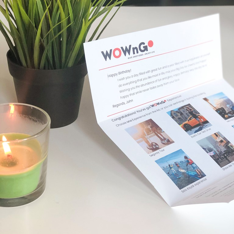
How your gift will look?
WOWnGO Gift Vaucher

Gift recipient will get a Voucher which can be redeemed for any experience from WOWnGO catalogue

How WOWnGO Works
Not sure what your recipient will enjoy the most? Browse through an array of options and bundle them into a single WOWnGO voucher, adding a personal touch to your gift. Offer up to 6 distinct experiences, allowing your loved one to choose their favourite from a curated collection.
Recent Blog Posts
Sign up and save 10% off today!


