- Great value: purchase per car, not per person. More affordable than bus or guided tours!
- Engaging storytelling: Uncover unique tales and thrilling history for a memorable journey!
- Perfect narrator: nothing can beat listening to a great voice. Proven with tons of rave reviews!
- Offline maps: no signal, no problem! Works perfectly without cellular or wifi.
- Comprehensive route and stops: See it all, miss nothing, leave no stone unturned!
- Go at your own pace: Start anytime, pause anywhere, enjoy breaks for snacks and photos freely!
- Learn more: dive deeper into any story you enjoyed with extra stories.
- Hands-free: audio stories play on their own based on your location. Easy to use!
- Food and Drinks.
- Attraction passes, entry tickets, or reservations
Journey from Vancouver to Kamloops through British Columbia’s stunning landscapes and rich history. Walk the historic grounds of Fort Langley, where the province took shape. Venture through the dramatic rock walls of the Othello Tunnels, a marvel of engineering. Stand before the massive Hope Slide, a reminder of nature’s power. Continue through mountain passes and open valleys, uncovering stories of exploration, industry, and resilience along the way.
Purchase one tour per car, not per person. Everyone listens together!
After booking, check your email to download the separate Audio Tour Guide App by Action, enter your unique password, and access your tour. These steps require good internet/Wi-Fi access. From there, follow the audio instructions and the route.
Buy once, use for one year! Ideal for extended visits and return trips over the next 12 months.
Meeting point
Eh5NUEYzKzdGMiwgS2FtbG9vcHMsIEJDLCBDYW5hZGEiJjokCgoNbxs0HhV2O0y4EAsaFAoSCTE7DT3TLH5TEedFaZqqlj7S, Eh5NUEYzKzdGMiwgS2FtbG9vcHMsIEJDLCBDYW5hZGEiJjokCgoNbxs0HhV2O0y4EAsaFAoSCTE7DT3TLH5TEedFaZqqlj7S(not valid)
End point
Eh83WEo4K0Y2MywgVmFuY291dmVyLCBCQywgQ2FuYWRhIiY6JAoKDW-0Xx0VrW6qthALGhQKEgmzT6lD8XOGVBGL84Gb6paRuw, Eh83WEo4K0Y2MywgVmFuY291dmVyLCBCQywgQ2FuYWRhIiY6JAoKDW-0Xx0VrW6qthALGhQKEgmzT6lD8XOGVBGL84Gb6paRuw(not valid)
ChIJNQTKlcvXhVQR7xUBH1GgAno
Soon we'll find ourselves crossing the Port Mann Bridge. This was one of those expensive projects to improve traffic congestion. Opened in 1964, the original bridge was just over two kilometers long and spans the Fraser River.
Duration: 40 minutes
ChIJfbeoY1nShVQRgczQebI7Kog
This was the first area of the Lower Mainland to be settled by Europeans, and the fort was built in 1827 by the Hudson's Bay company. It was a trading post, initially for the fur traders, but then became pivotal for supplying other forts, the newly developing farming community, and then later outfitting thousands of gold Rush hopefuls before chasing their golden fortune dreams.
Abbotsford
As we drive by the Clearwater Road highway exit, you may be able to catch a glimpse of a 47 foot tall raspberry public art sculpture on the south side of the highway.
EitWZWRkZXIgQ2FuYWwgQnJpZGdlLCBBYmJvdHNmb3JkLCBCQywgQ2FuYWRhIi4qLAoUChIJUeN1kBE4hFQRhfAYe0aAZ5wSFAoSCYO3anDGNYRUEWAFeyoVNQEF
There was a time when everything surrounding us was all a lake. This area was reclaimed in the 1920s to create more farmland. In the process, the Chilliwack and Vedder Rivers were redirected away from Sumas Lake to the Sumas River, which drained into the Fraser River.
Duration: 40 minutes
Chilliwack
We're approaching the small city of Chilliwack on the north side of the highway, and the smaller community of Sardis on the other side. During the gold rush days, 30,000 miners passed through here on their way to the gold fields.
Duration: 20 minutes
ChIJ18eDGcr1g1QRwyvJ2gZxeQc
The town of Hope is a good choice, as will not see another town for at least one hour and nothing of any size for at least two hours.
Duration: 20 minutes
The Hope Slide
I see you want to take a look at the Hope slide. It's good to try and keep an open mind and remember to stop and see the things along the way as we drive. I see so many people who are in such a rush to drive to their next destination that they forget that the journey to get there is part of the fun.
Duration: 15 minutes
Othello Tunnels
I most definitely recommend a short visit to the tunnels as the best thing to see on the entire highway five route. Unfortunately the tunnels area was severely damaged by severe storms - the infamous Atmospheric River of November 2021.
Duration: 15 minutes
Merritt
Comstock road, mixed together with other forestry roads around here, make up a portion of the course for a stage of the annual Canadian Rally Championships.
Coldwater River Provincial Park
The bottom of this valley holds the Coldwater River, which is named for the Coldwater Indian Band, who called this area home before white European settlers arrived. Their story is similar to so many other First Nations groups in Canada.
Duration: 20 minutes
ChIJoa_-jcSkgVQRhb-Er6uSySU
The waterway through the town of Merritt is the combination of the Nicola and Coldwater rivers. This river has had a history of causing problems for the town. Now, I know you're thinking that I'm going to tell you about floods.
ChIJu10Y_2_EgVQRvXor7UthRlg
We've reached something of an apex here. This is the Surrey Lake summit, at an elevation of 1440 four meters, or 4737ft. This is the highest point on the Coquihalla Highway, and I don't mind saying that if the weather turns nasty, this area can be exposed to quite harsh conditions. But away from winter, it's normally just fine.
Logan Lake
It began as a mining camp and that still its main industry today, being home to North America's largest open pit copper mine.
Kamloops
We only have a few more minutes and we'll begin entering the outer edges of Kamloops, British Columbia. The word Kamloops derives from the local First Nations word, Kamloops.
- Public transportation options are available nearby
- Not recommended for pregnant travelers
- Suitable for all physical fitness levels
- How to access: Once you book a tour, you’ll get a confirmation email and text with instructions: • Download the separate tour app by Action • Enter the password • Download the tour MUST DO while in strong wifi/cellular Works offline after download
- How to start touring: Open Action’s separate audio tour guide app once onsite. • If there is just one tour, launch it. • If multiple tour versions exist, launch the one with your planned starting point and direction.
- Go to the starting point No one will meet you at the start. This tour is self-guided Enter the first story’s point and the audio will begin automatically Follow the audio cues to the next story, which will also play automatically. Enjoy hands-free exploring. If you face audio issues, contact support. Stick to the tour route & speed limit for the best experience.
- Travel worry-free: Use the tour app anytime, on any day, and over multiple days. Start and pause the tour whenever you like, taking breaks and exploring side excursions at your own pace. Skip anything you don’t care about or explore bonus content for everything that interests you
- Savings tips: Driving tours: purchase just one tour for everyone in the car
- Buy once, use for one year! Ideal for extended visits and return trips over the next 12 months.
People who like this also love
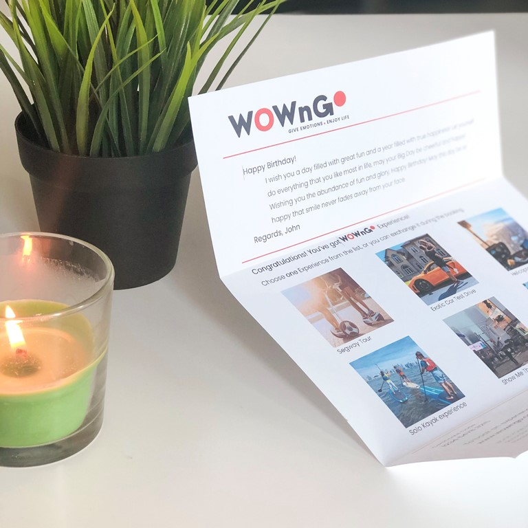
How your gift will look?
WOWnGO Gift Vaucher

Gift recipient will get a Voucher which can be redeemed for any experience from WOWnGO catalogue

How WOWnGO Works
Not sure what your recipient will enjoy the most? Browse through an array of options and bundle them into a single WOWnGO voucher, adding a personal touch to your gift. Offer up to 6 distinct experiences, allowing your loved one to choose their favourite from a curated collection.
Recent Blog Posts
Sign up and save 10% off today!


